Skip to main content
search
contact@ardea.com
020 8318 1401
Explore
Inspiration
About Us
Contact Us
Account
Lightboxes
Print Store
Sign In
Geologic
<
1
2
3
4
5
6
>
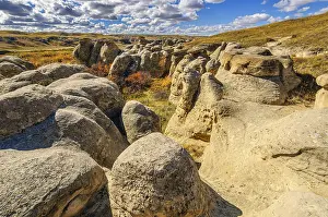
Sandstone hoodoos sculpted by water and wind erosion in Writing-On-Stone Provincial Park Alberta
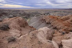
Colorful deposits of the Chinle Formation exposed at Little Painted Desert County Park near Winslow
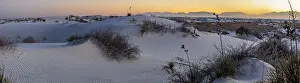
Gypsum dunefields at White Sands National Monument located within the Chihuahuan Desert
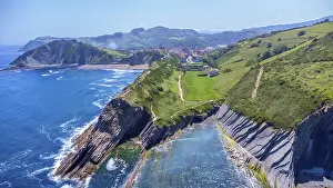
Aerial perspective captures the stunning beauty of zumaia's flysch cliffs meeting the vibrant blue ocean on a
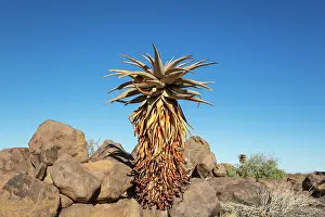
Aloe littoralis. Quiver tree forest
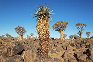
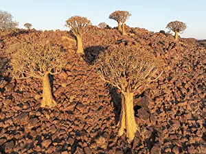
Aloe littoralis and Quiver Trees (Aloidendron dichotomum)
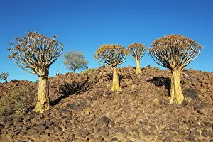
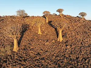
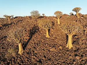
Quiver Tree (Aloidendron dichotomum)
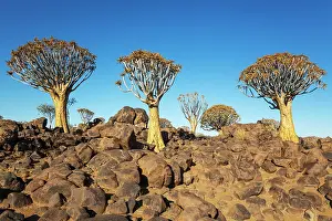
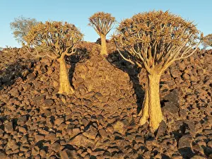
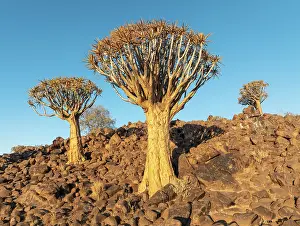
Quiver Tree (Aloidendron dichotomum)
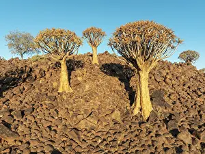
Quiver Tree (Aloidendron dichotomum)
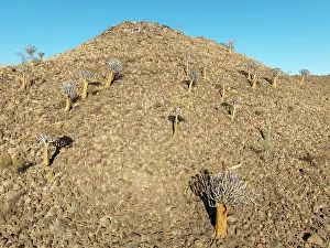
Quiver Tree (Aloidendron dichotomum)
Quiver Tree (Aloidendron dichotomum)
Quiver Tree (Aloidendron dichotomum)
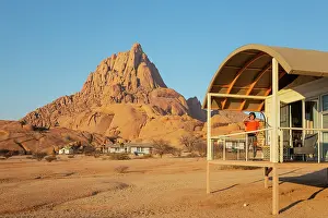
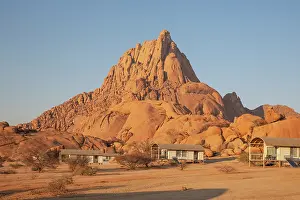
The isolated Spitzkoppe mountain (1728 m)
The isolated Spitzkoppe mountain (1728 m)
The isolated Spitzkoppe mountain (1728 m)
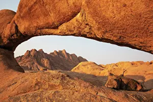
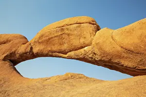
The Pondok mountains seen through "The Bridge" belong to the Spitzkoppe mountain compound
The isolated Spitzkoppe mountain (1728 m)
The Bridge belong to the Spitzkoppe mountain compound
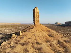
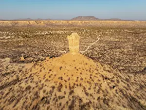
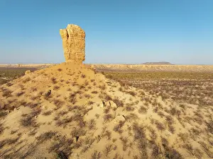
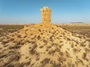
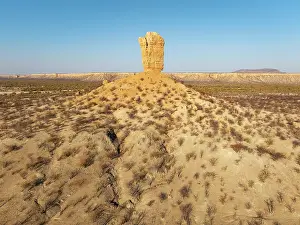
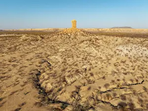
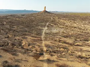
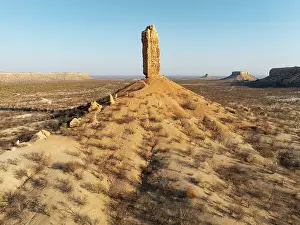
The Vingerklip (rock finger) and the Ugab Valley Terraces are surrounded by thornbush and mopane (Colophospermum mopane)
The Vingerklip (rock finger) and the Ugab Valley Terraces are surrounded by thornbush and mopane (Colophospermum mopane)
The Vingerklip (rock finger) and the Ugab Valley Terraces are surrounded by thornbush and mopane (Colophospermum mopane)
The Vingerklip (rock finger) and the Ugab Valley Terraces are surrounded by thornbush and mopane (Colophospermum mopane)
The Vingerklip (rock finger) and the Ugab Valley Terraces are surrounded by thornbush and mopane (Colophospermum mopane)
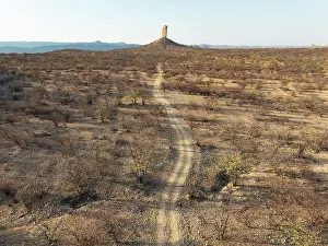
The Vingerklip (rock finger) is surrounded by thornbush and mopane (Colophospermum mopane) savanna
The Vingerklip (rock finger) and the Ugab Valley Terraces are surrounded by thornbush and mopane (Colophospermum mopane)
The Vingerklip (rock finger) is surrounded by thornbush and mopane (Colophospermum mopane) savanna
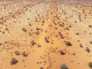
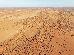
Linear sand dunes grown with camelthorn trees (Vachellia erioloba) in the Kalahari Desert
Linear sand dunes grown with camelthorn trees (Vachellia erioloba) in the Kalahari Desert
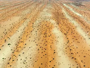
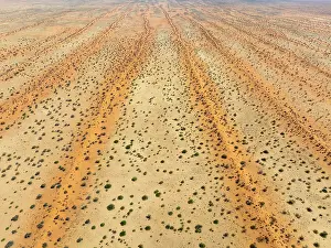
Parallel, linear sand dunes grown with camelthorn trees (Vachellia erioloba) in the Kalahari Desert
Parallel, linear sand dunes grown with camelthorn trees (Vachellia erioloba) in the Kalahari Desert
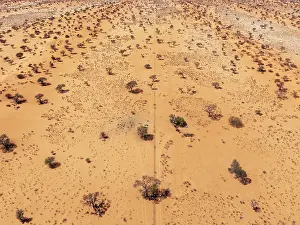
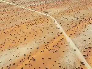
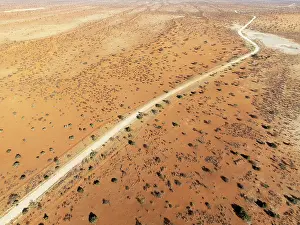
Gravel road in the Kalahari Desert with its linear sand dunes grown with camelthorn trees (Vachellia erioloba)
Gravel road in the Kalahari Desert with its linear sand dunes grown with camelthorn trees (Vachellia erioloba)
Linear sand dunes grown with camelthorn trees (Vachellia erioloba) in the Kalahari Desert
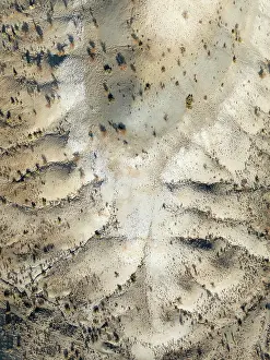
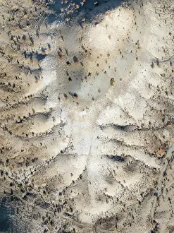
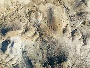
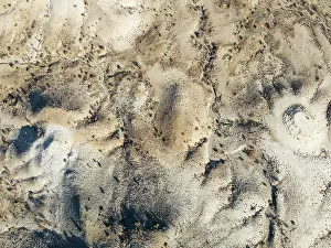
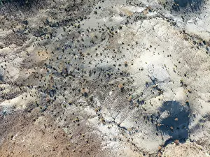
Broken, rocky ground with sparse vegetation
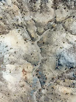
Broken, rocky ground with sparse vegetation
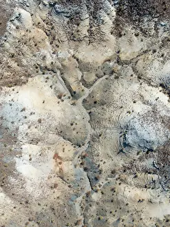
Broken, rocky ground with sparse vegetation
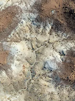
Broken, rocky ground with sparse vegetation
Broken, rocky ground with sparse vegetation
Broken, rocky ground with sparse vegetation
Broken, rocky ground with sparse vegetation
Broken, rocky ground with sparse vegetation
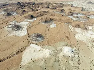
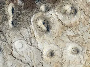
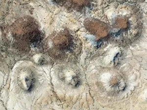
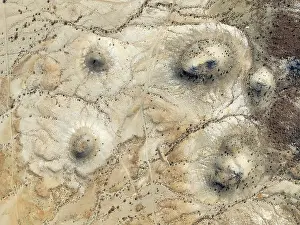
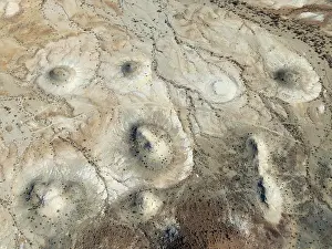
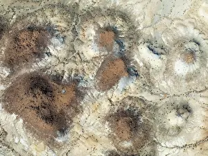
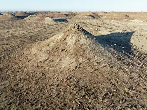
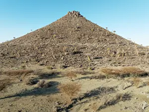
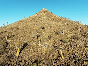
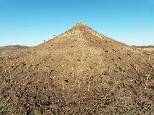
Conical rocks, so-called Prince Albert formations
The Vingerklip (rock finger) and the Ugab Valley Terraces are surrounded by thornbush and mopane (Colophospermum mopane)
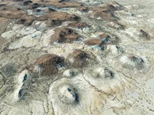
Conical rocks, so-called Prince Albert formations
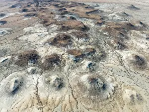
Conical rocks, so-called Prince Albert formations
Conical rocks, so-called Prince Albert formations
Conical rocks, so-called Prince Albert formations
Conical rocks, so-called Prince Albert formations
Conical rocks, so-called Prince Albert formations
Conical rocks, so-called Prince Albert formations
Quiver Tree (Aloidendron dichotomum)
Quiver Tree (Aloidendron dichotomum)
Quiver Tree (Aloidendron dichotomum)
Quiver Tree (Aloidendron dichotomum)
Quiver Tree (Aloidendron dichotomum)
Quiver Tree (Aloidendron dichotomum)
Quiver Tree (Aloidendron dichotomum)
Quiver Tree (Aloidendron dichotomum)
Quiver Tree (Aloidendron dichotomum)
Quiver Tree (Aloidendron dichotomum)
Quiver Tree (Aloidendron dichotomum)
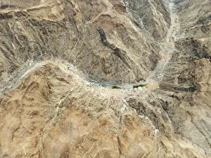
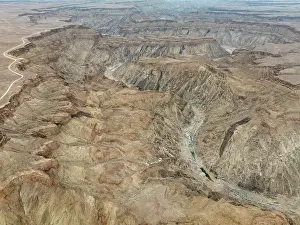
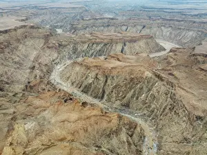
The Fish River Canyon with a length of 160 km is the second largest canyon in the world and the largest in Africa
The Fish River Canyon with a length of 160 km is the second largest canyon in the world and the largest in Africa
Bare canyon walls at the Fish River Canyon
The Fish River Canyon with a length of 160 km is the second largest canyon in the world and the largest in Africa
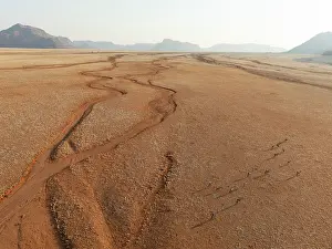
Gemsbok (Oryx gazella). Roaming an arid plain with dried-up river beds and isolated mountain ridges in the distance
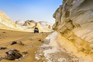
White Desert at Farafra in the Sahara of Egypt
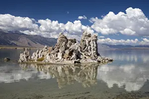
Lee Vining, California - Tufa towers in Mono Lake
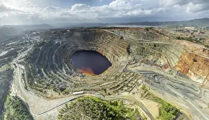
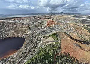
Aerial view of Corta Atalaya open pit mine
Aerial view of Corta Atalaya open pit mine
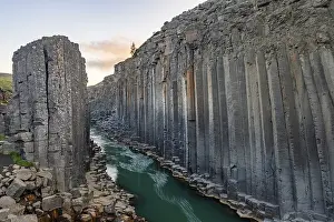
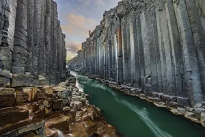
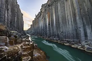
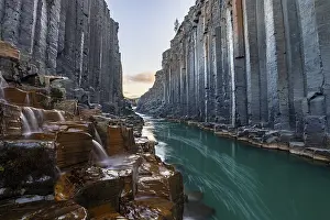
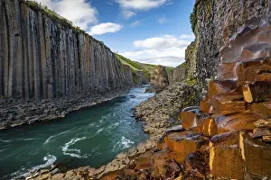
Studlagil Basalt Canyon, gorge in the Jokuldalur Valley
Studlagil Basalt Canyon, gorge in the Jokuldalur Valley
Studlagil Basalt Canyon, gorge in the Jokuldalur Valley
Studlagil Basalt Canyon, gorge in the Jokuldalur Valley
Studlagil Basalt Canyon, gorge in the Jokuldalur Valley
ibxshu11107611.jpg
ibxshu11107562.jpg
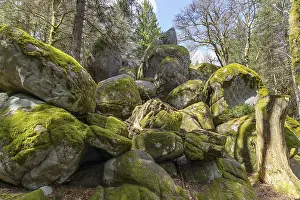
Granite rock Gunterfelsen near the source of the Danube
ibxpur12905317.jpg
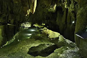
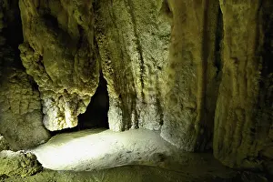
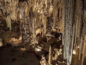
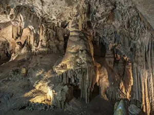
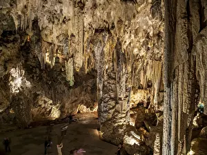
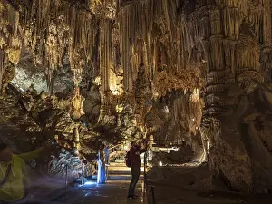
Cueva de Nerja, illuminated cave
Cueva de Nerja, illuminated cave
Cueva de Nerja, illuminated cave
Cueva de Nerja, illuminated cave
<
1
2
3
4
5
6
>
© Copyright Ardea Picture Library - All Rights Reserved 2026
Powered by
Media Storehouse
®